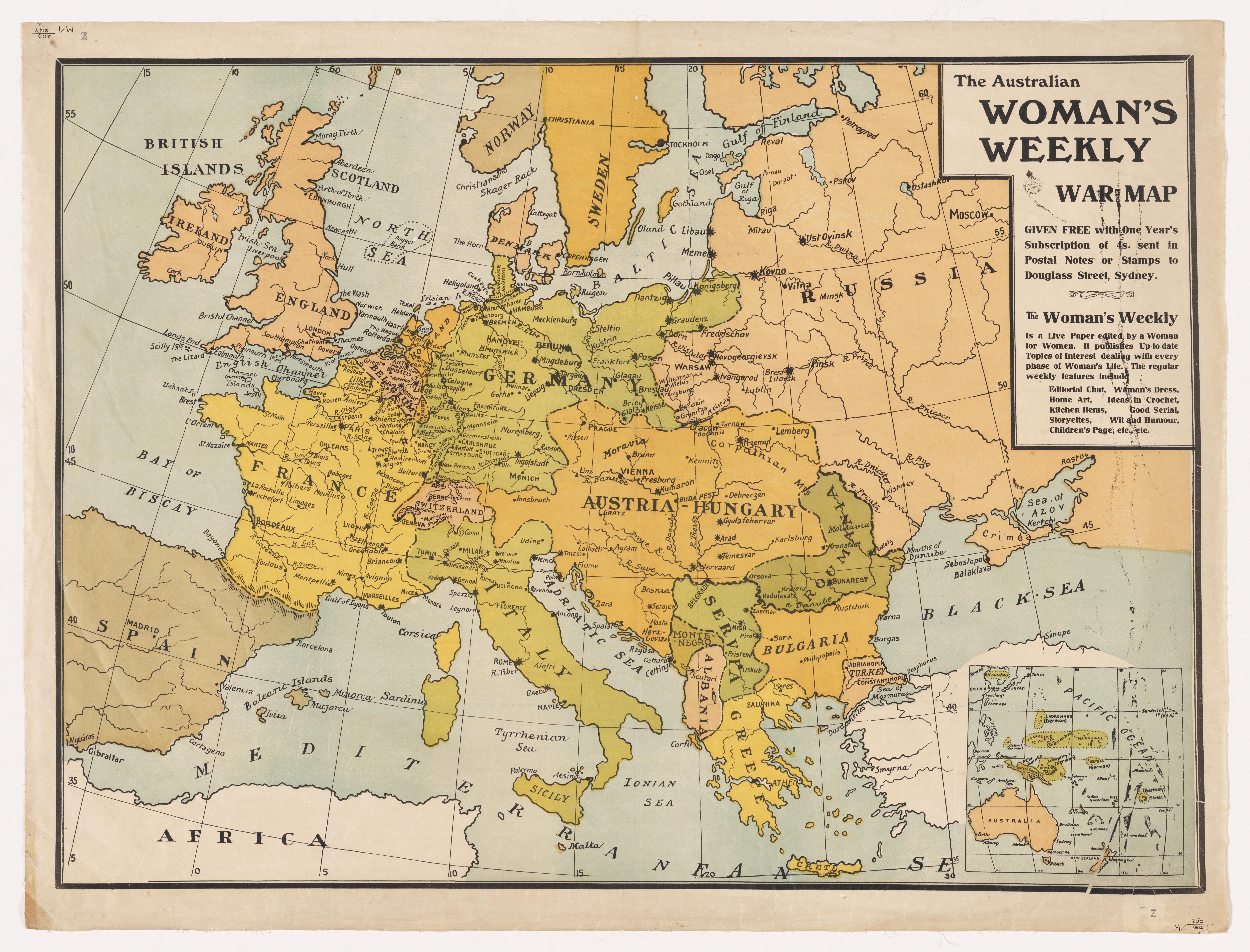
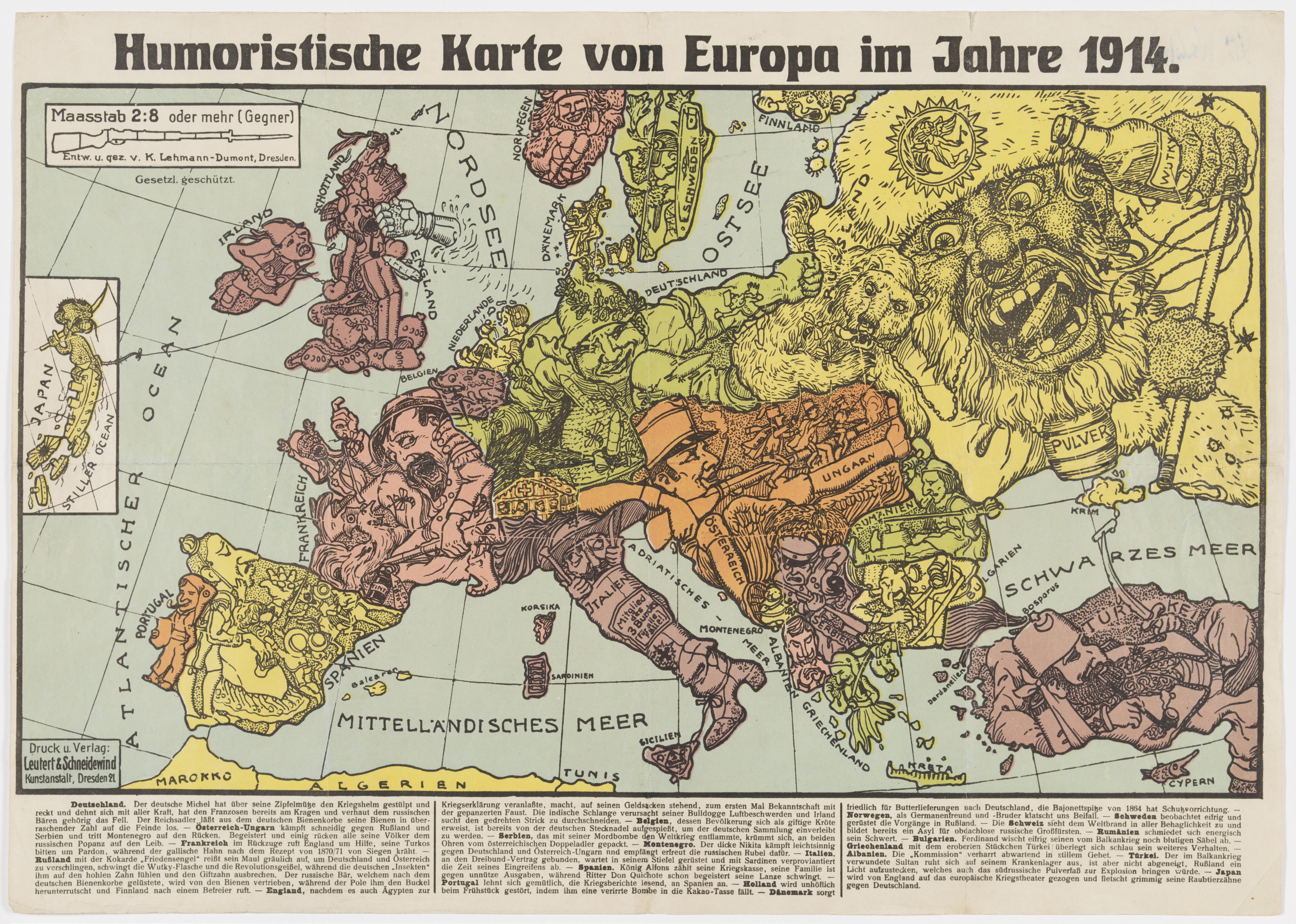
The Library collected many printed maps during the War which illustrated the general areas where Australian servicemen were serving. These maps were published as newspaper supplements or were published by the Australian government and Australian commercial publishers such as HEC Robinson.
The production of maps for military use was a major activity throughout the war. These maps were essential for the planning, execution and monitoring of activities across the battle fronts of Europe.
A significant number of military maps are trench maps. These illustrate the locations of trenches across the battles fields. A trench map consisted of a base map that showed roads, towns, rivers, forests and so on, over-printed with trenches; red for German, blue for British. Although some trench maps were printed with all the trenches of the same colour. Trench maps were updated on a daily basis using aerial photographs and intelligence reports.
In addition to these military maps, commercial publishers produced hundreds of maps to provide the general public with up to date information on the progress of the war . These maps also played an important role as families and friends followed the movement of their soldiers as they travelled and fought on the other side of the world.
Search our catalogue to find maps from the war period using the keyword 'cartographic' and ‘World War 1914-1918’ or using a battle field location eg. ‘Ypres cartographic’.
Elise Edmonds, Senior Curator, Research and Discovery


